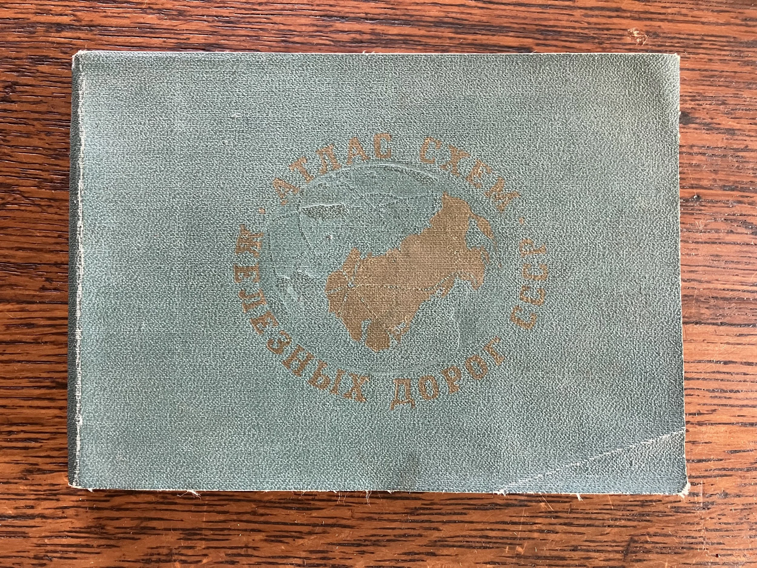
In 2013 I found a small 1973 Soviet train travel atlas in a flea market in Tbilisi, Republic of Georgia.
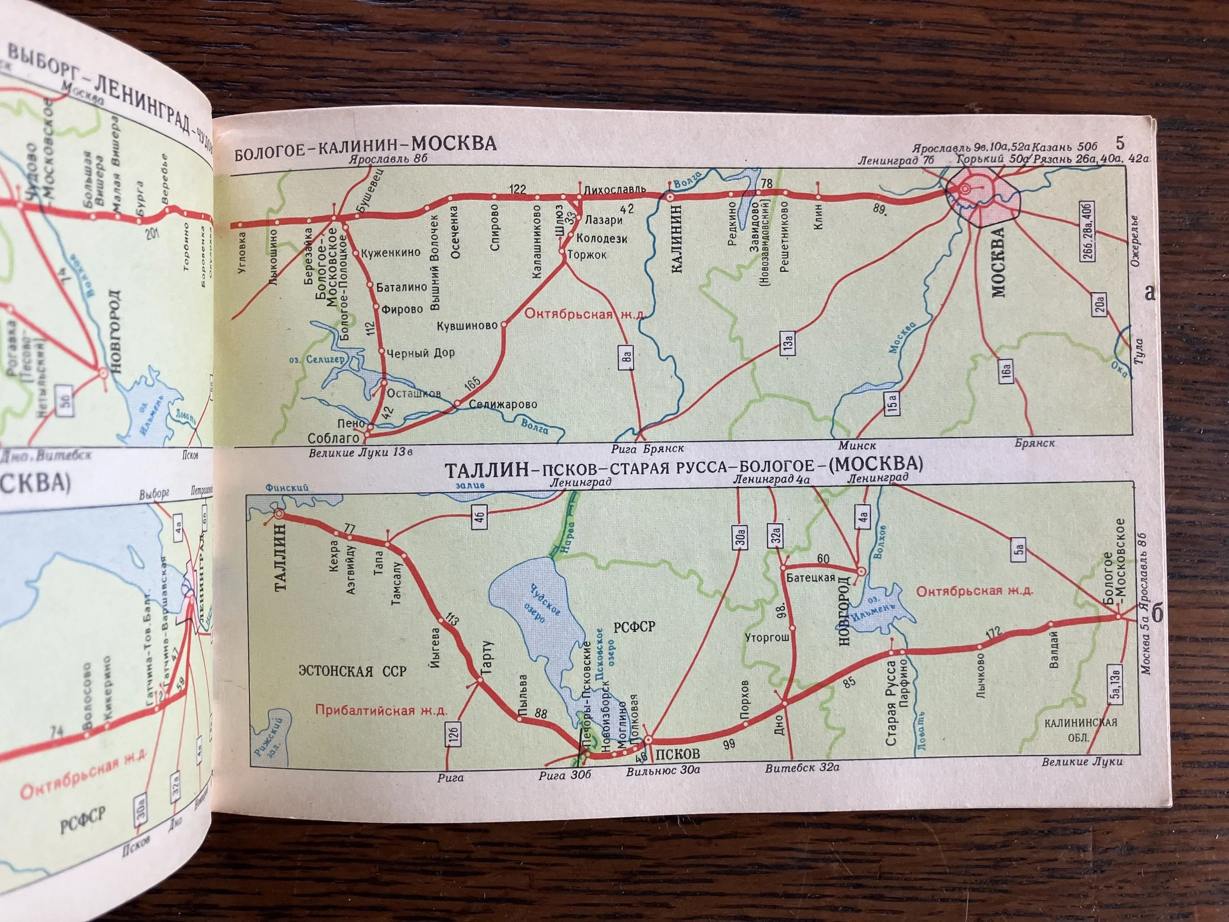
I was fascinated by it for a couple reasons. First, because of how useless it had become, and how useless it was to me personally. It was a book of maps of places I would likely never visit. But second, it reminded me of the AAA TripTiks of my youth. Cardinal directions and regional context became secondary or were ignored altogether. Bodies of water and borders faded in importance beneath the all-important road. These maps were focused on one thing: getting you from A to B.
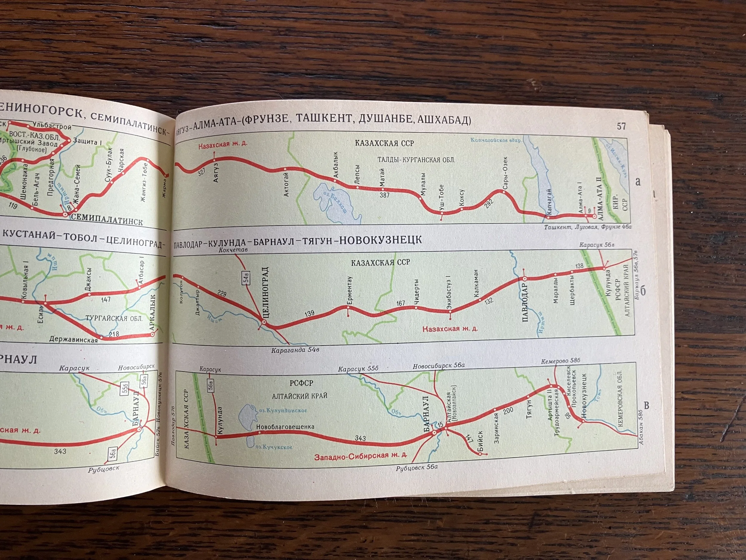
And in fact, the Soviet atlas was even less useful than I might have thought. According to a 2015 article in “Wired”, Soviet “…maps for the masses were deliberately distorted with a special projection that introduced random variations. …The main goal was to crush the contents of maps so it would be impossible to recreate the real geography of a place from the map… Well-known landmarks like rivers and towns were depicted, but the coordinates, directions, and distances were all off, making them useless for navigation or military planning, should they fall into enemy hands. The cartographer who devised this devious scheme was awarded the State Prize by Stalin.”
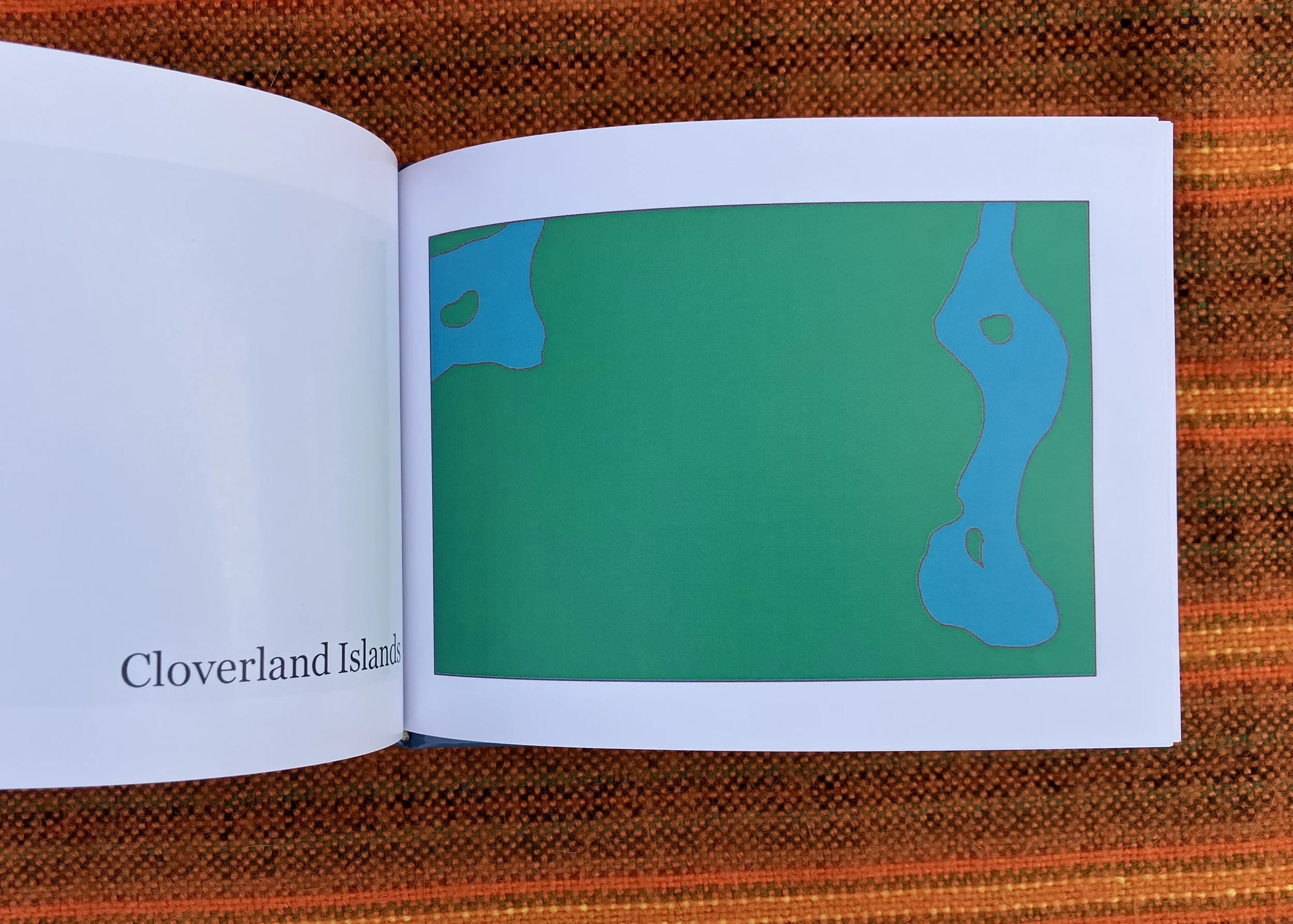
A couple of years later, I decided to start mapping the islands of Houston. I searched for islands everywhere I could, and when I found one I logged it in a journal.
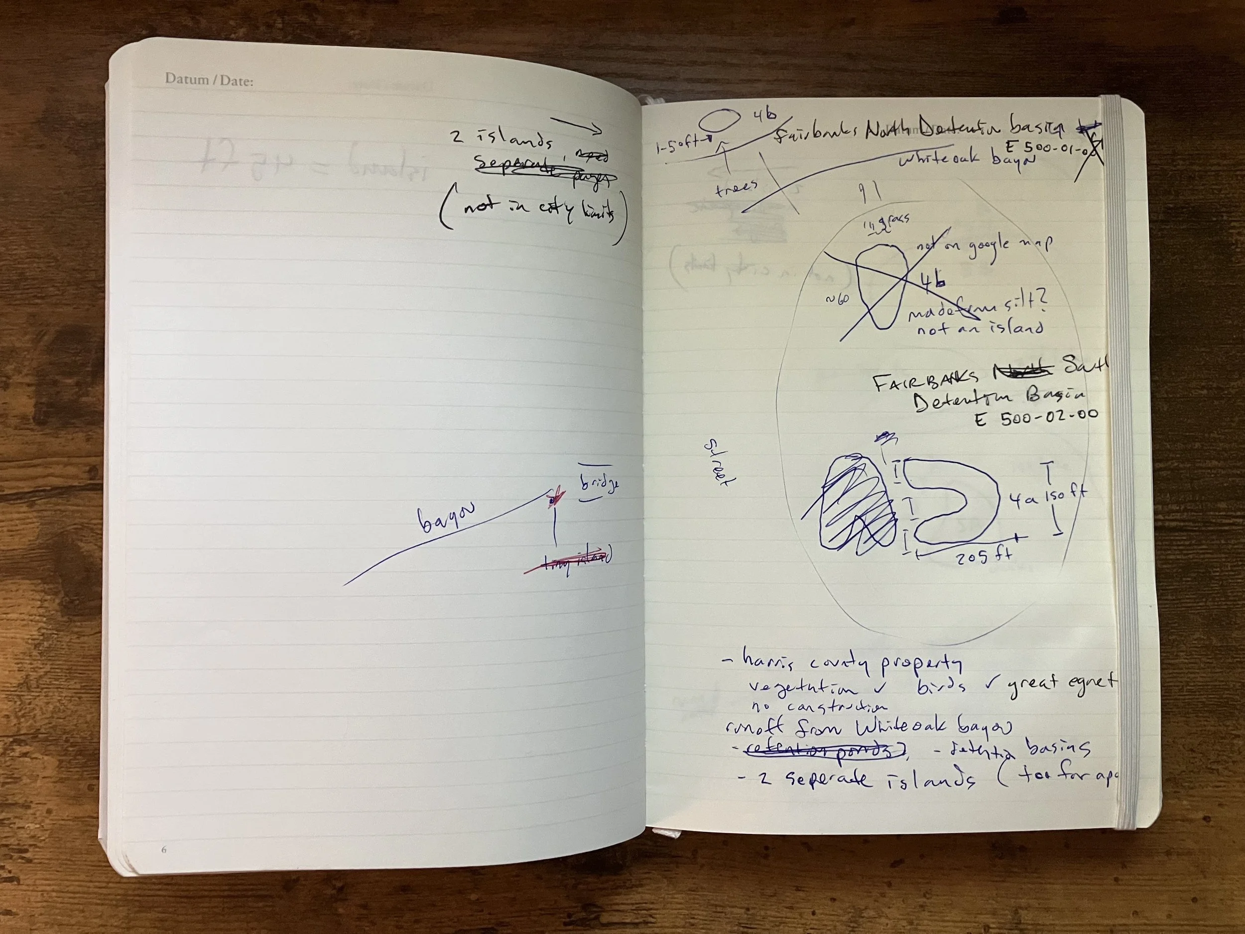
In doing so, I visited neighborhoods I had never been to before, and saw new places and people. I drew the islands by hand after verifying them by sight, and only used other maps or my own photos for reference afterwards. And I drew my maps to more or less the same dimensions of that Soviet atlas.

My maps are also a bit unreliable, but so are the islands they depict: they are growing and shrinking and disappearing or being joined to the mainland all the time.