
Houston had plenty of islands. The problem was getting close to them. I took paths through woods that butted up against sidewalks and walked for five or ten minutes into wilderness, and it didn't seem at all like I was in the middle of one the country's biggest cities. Beneath the live oaks and brambles, the ground was well trodden, and there were old clothes and beer bottles and human feces: people lived there too. And when I got to where I could see the particular island I had been hunting for, I would find that there was a better access point visible across the pond, only I couldn't have known that from looking at the maps.
Other times I drove past them on the freeway and made a note to return and survey them later. My main rule was that I had to see the island in person, not just observe it on a map. If I saw it with my own eyes, then it's in this Atlas. Even if it's not there anymore, or has changed shape, or never made it onto any other map. Otherwise, they could be of any size. “Artificial” or “natural”, well-traversed, or too insubstantial to hold a person. It seemed to me that a broad definition—encompassing the intentional and older as well as the accidental and ephemeral—was in keeping with the spirit of the town.
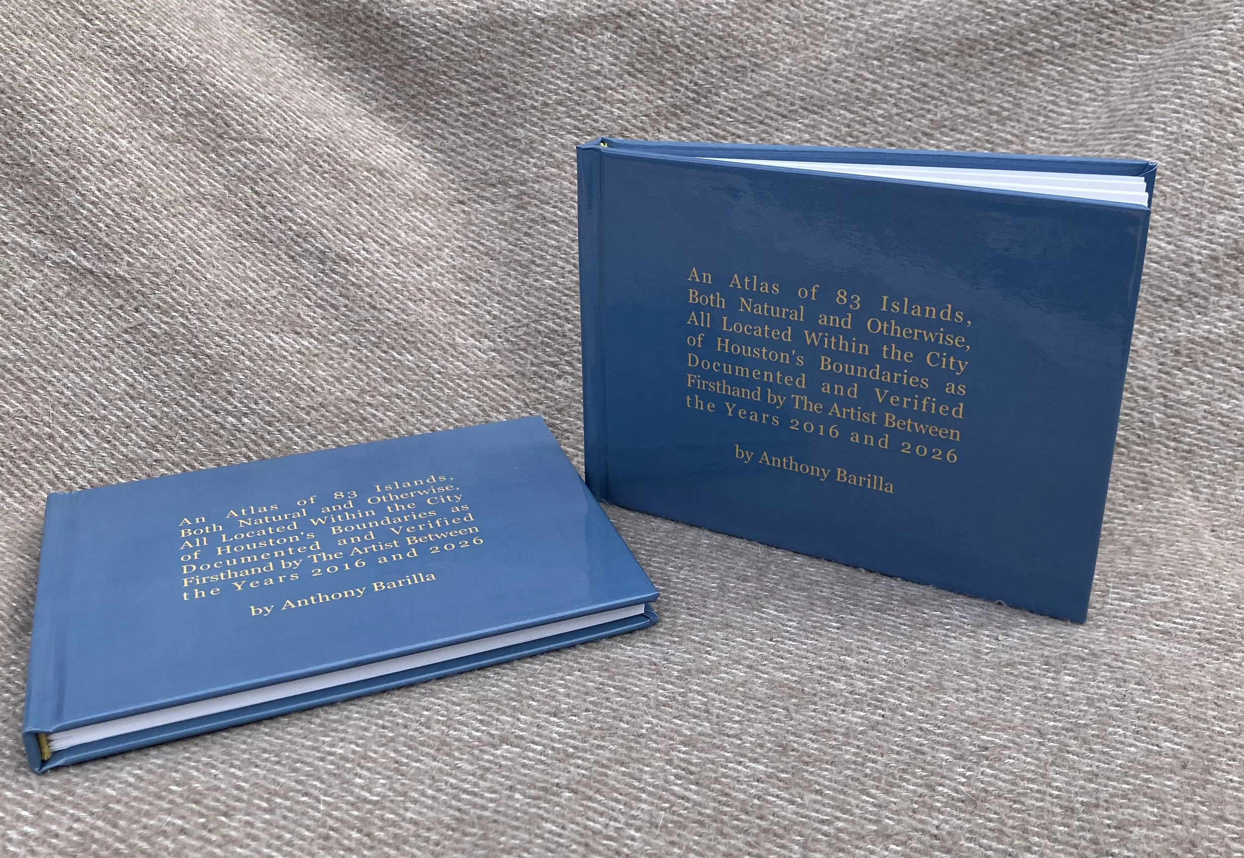
Inspired by a Soviet train map purchased in a Tbilisi flea market and made to the same dimensions, this book was printed in a limited edition of only 50 copies. This Atlas is funded in part by the City of Houston through Houston Arts Alliance.